Digital elevation models (DEM) or terrain models are at the center of nearly every land development project. They are variously referred to by other names such as digital surface model (DSM) or digital terrain model (DTM). DSM is often used to refer to a model that includes objects on the earth’s surface such as trees and buildings, whereas DTM often refers to a model of just the bare ground without objects on it.
DEM is a generic name that can refer to either a DSM or DTM.
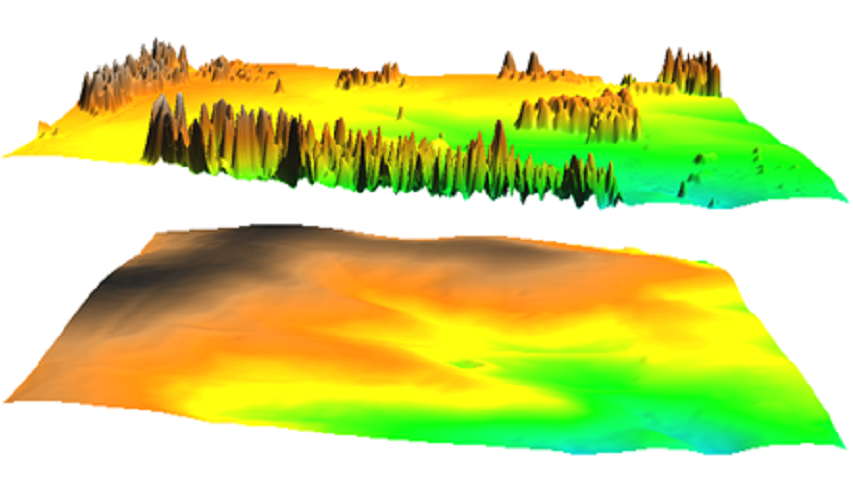
Carlson refers to these models by the default file type used when creating terrain models; “TIN” or Triangulated Irregular Network. Accuracy in developing TIN surface models is key to the success of a land development project.
The process of creating a TIN file starts with the collecting raw data in the field using Lidar, surveying with total station, Real Time Kinematic GPS and other methods. To process the raw data into a DEM that accurately represents a section on the surface of the earth, an appropriate modeling method and associated parameters must be selected. In Carlson, triangulation is the favored method for modeling land surface features or topography. Triangulated networks tend to be more accurate for land representation because they carry elevation information at every point along the features of the land. From TIN files, contours for inclusion in land design plans are generated.
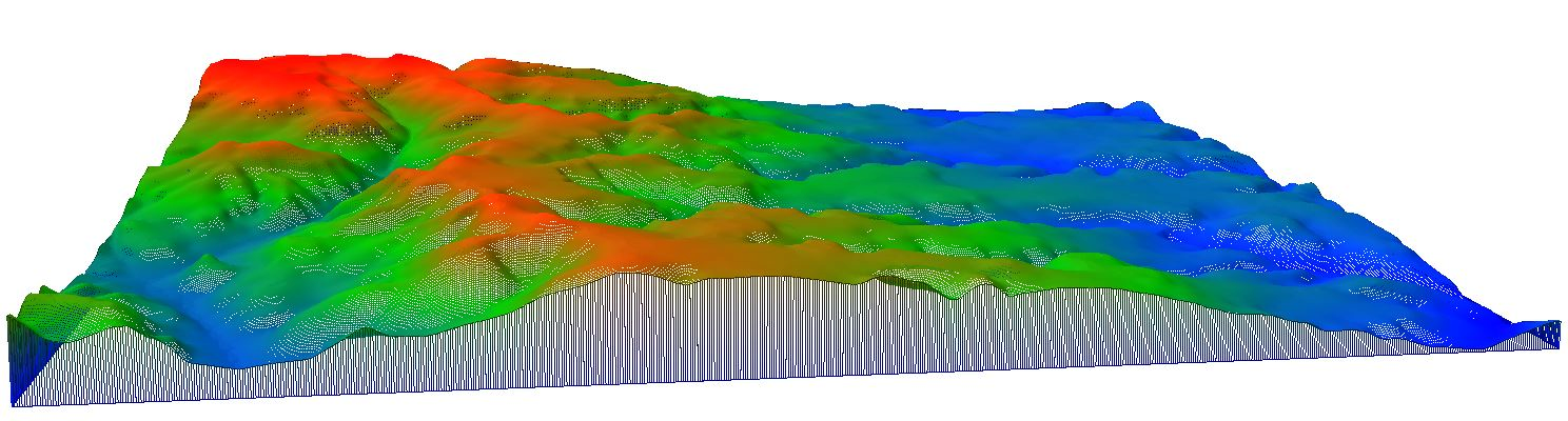
One important aspect of land development projects is calculating the volume of earth that needs to be moved in order to get a landform shape that is suitable for the intended use i.e. putting up a residential subdivision, constructing a highway or reclaiming mined land. This process is sometimes referred to as takeoff job estimates when a contractor does it to make a bid. Typically two surfaces, one of the original ground and another of the design, that overlap or cover the same area are compared. The voids between the two surfaces give the volume of material to be moved by cutting to lower elevation in some areas, and by filling to raise elevation in other areas. It is also possible in Carlson to use one or three surfaces to calculate material volumes—two being the most common method.
The same design surface model generated for volume calculation can be converted into a suitable format and loaded onto machines (dozers, excavators and graders) for machine control during grading. Machine control makes the work much more accurate and efficient. With the software and the design surface guiding the operator with respect to what grade elevation should be achieved, the number of passes required to reach design grade is minimized and the number of personnel required to set stakes is reduced or eliminated.
The associated total costs of earthworks are also calculated based on the unit cost to move a unit volume of material over a given distance and any additional work that may be needed to attain the final product such as spreading and compaction.
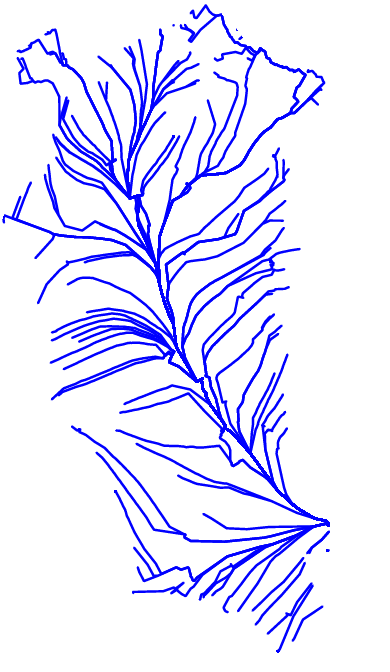
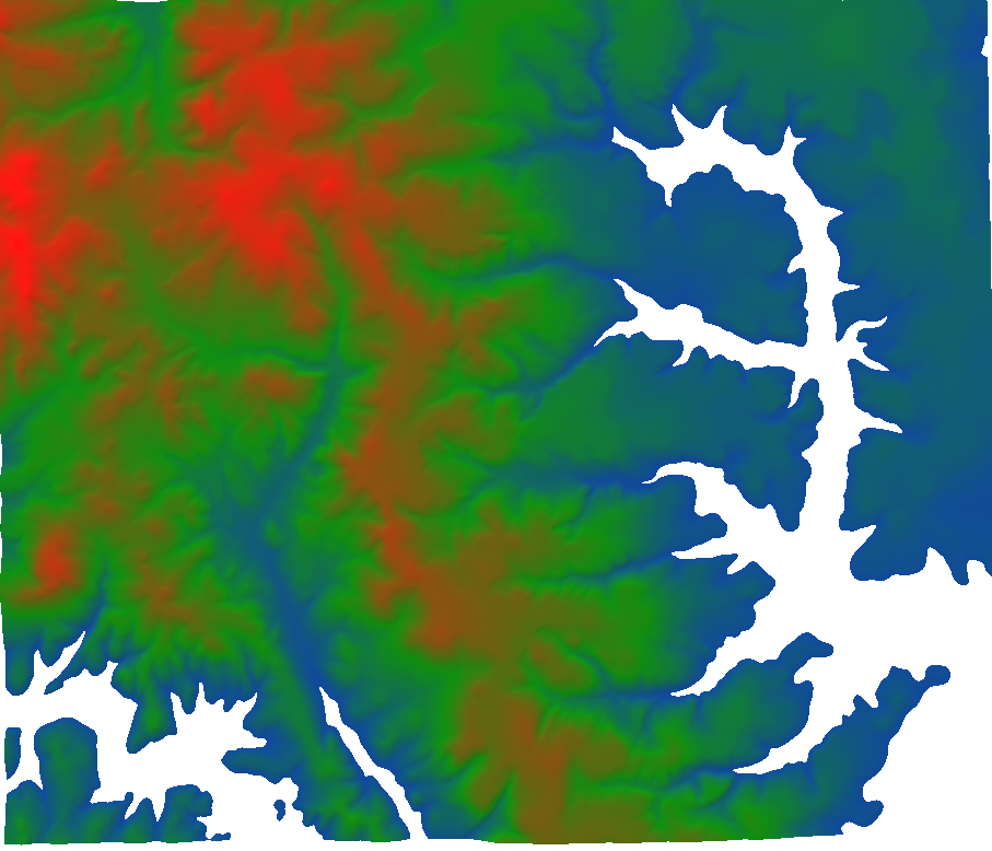
Besides application in landform design and grading, DEMs have application in modeling water flow, as in the image below, or to do line-of-sight analysis between points, and many other engineering and scientific work.