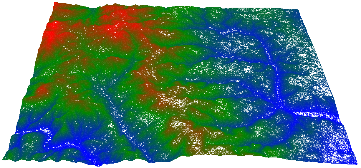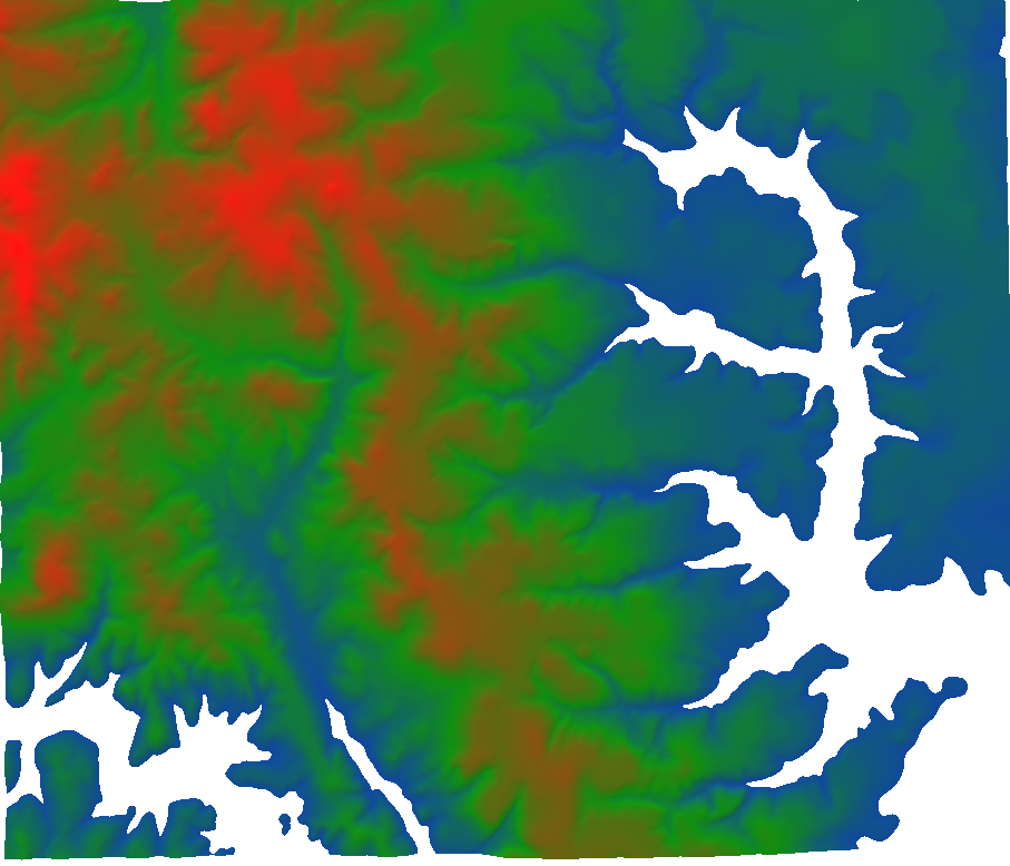
Digital Elevation Modeling
Digital elevation models (DEM) or terrain models are at the center of nearly every land development project. They are variously referred to by other names such as digital surface model (DSM) or digital terrain model (DTM).
Continue Reading