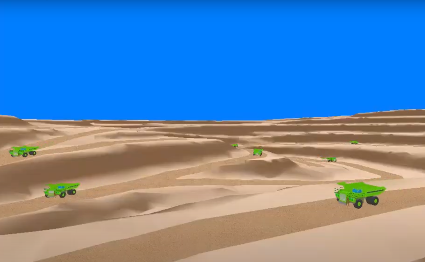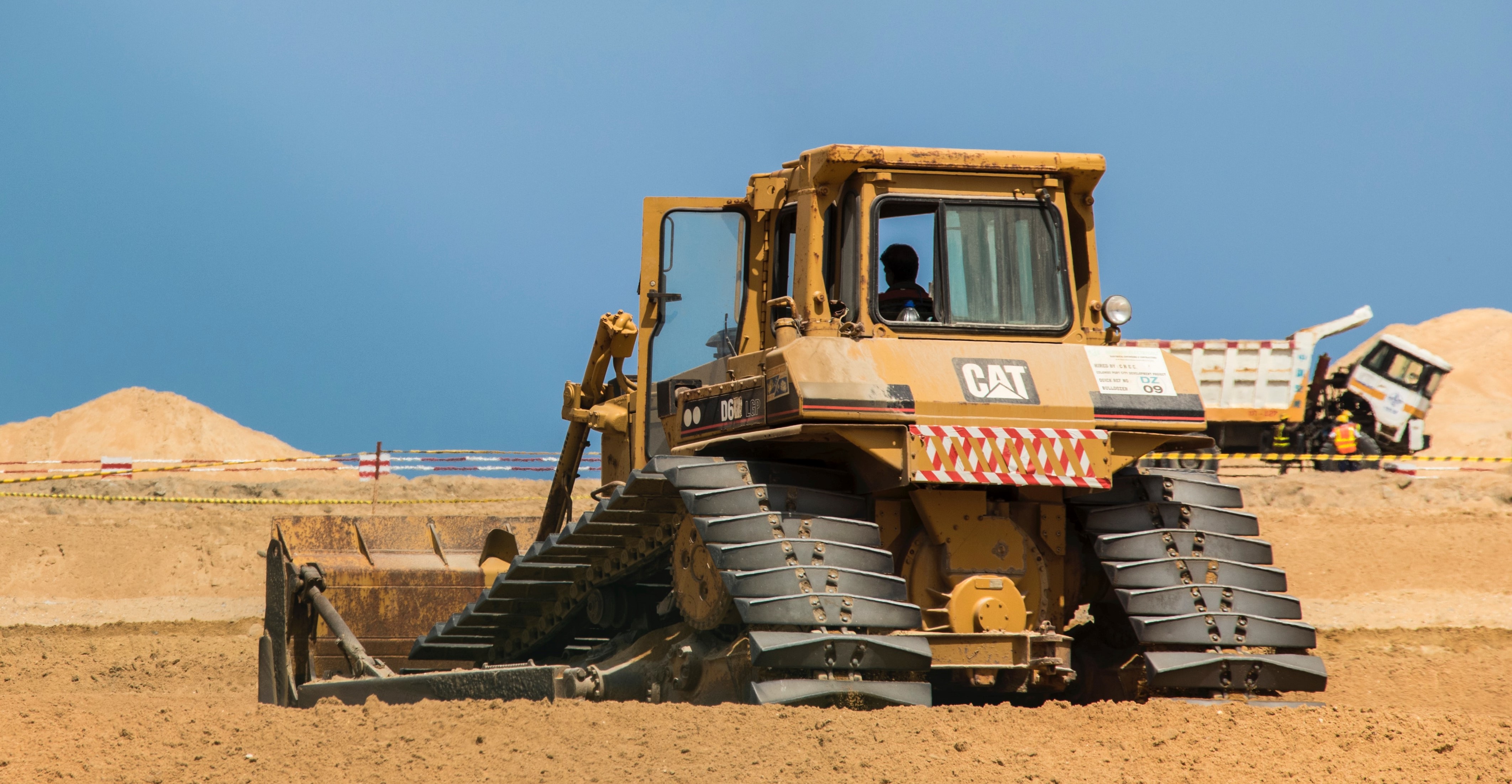
Mined Land Rehabilitation
Mining industry products are an essential feature of modern life, and many mining companies are mindful that to continue operating and receiving support in their host communities, they must employ sustainable mining techniques.
Continue Reading